


WE SEE
BEYOND
THE FRAME.
Aerial photography and cinematography that reveal places, projects, structures and moments from a completely different perspective.
SOME STORIES
NEED A
HIGHER
PERSPECTIVE.
From a property taking shape to an industrial facility in motion, from a landscape to a live event, aerial imagery changes how we understand scale, space and movement.
We use the sky as another camera angle, another storytelling tool and another way to make the invisible visible.

SCALE.
SPACE.
PERSPECTIVE.
One flight can change the way you see an entire story.
ONE SKY.
MANY WAYS
TO SEE.
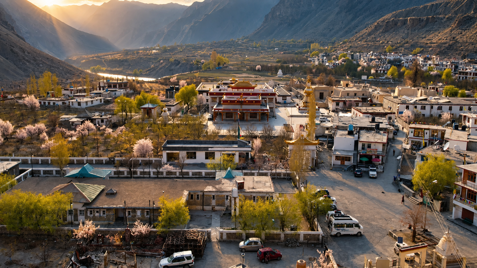
MAKE THE
WORLD MOVE.
Cinematic aerial footage designed for films, campaigns, brands, events and visual storytelling.
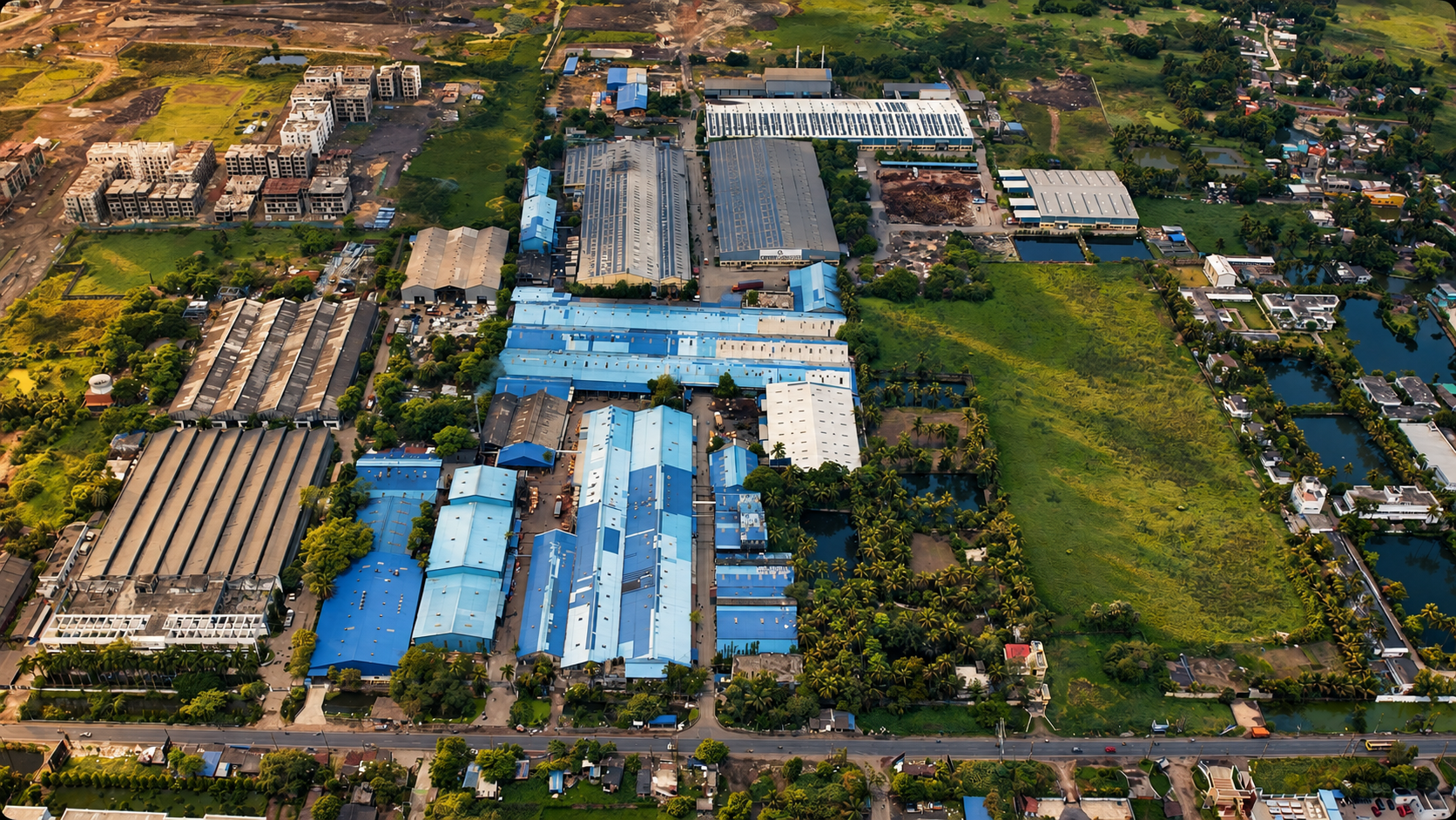
SEE THE
WHOLE PICTURE.
Aerial imaging for properties, industrial environments, construction, infrastructure and technical applications.
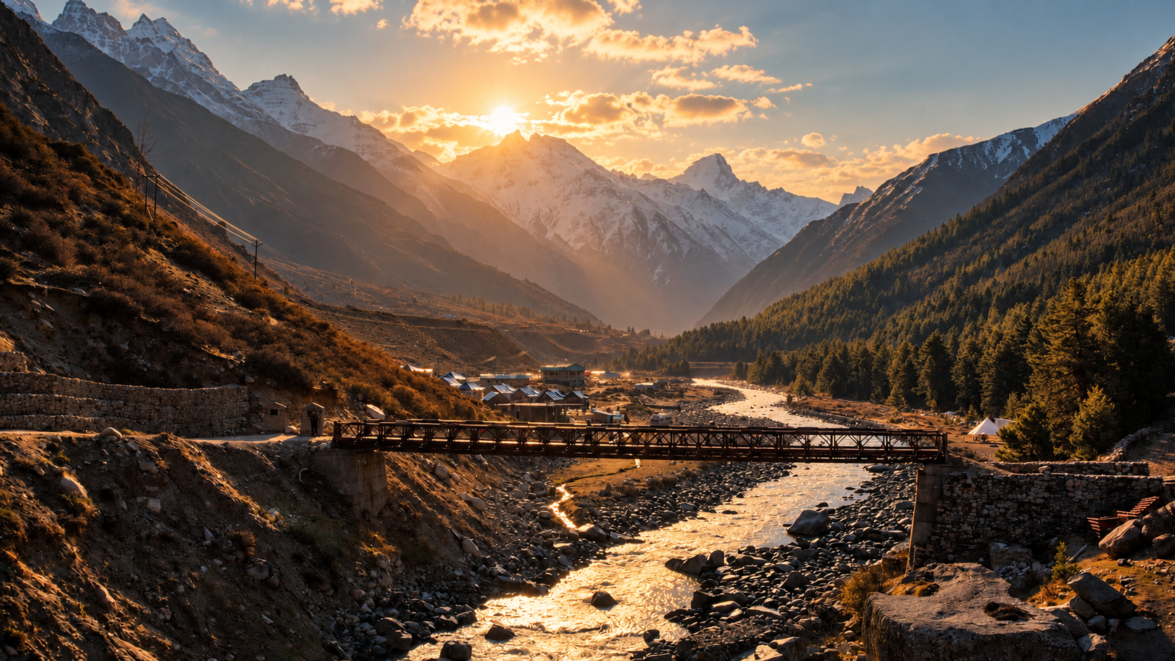
DON'T JUST
SHOW THE
PLACE.
SHOW ITS
SCALE.
The right aerial perspective can communicate what a ground-level camera simply cannot - Scale, relationship, progress, structure and context.
ONE
PERSPECTIVE.
MANY
APPLICATIONS.
From cinematic storytelling to commercial, industrial and technical applications, our aerial services are built around the purpose of the image.
EVERY FLIGHT
HAS A PURPOSE.
Aerial work is more than putting a drone in the sky. The flight, composition and final image all begin with understanding what needs to be seen.
Understand the location, objective, visual requirement and intended use of the footage.
Assess the environment, equipment, composition and flight conditions before take-off.
Capture movement, scale and perspective with deliberate flight paths and camera movement.
Select the angles, compositions and moments that communicate the story.
Provide imagery and footage ready for production, marketing, documentation or presentation.
CHANGE
THE WAY
YOU SEE.
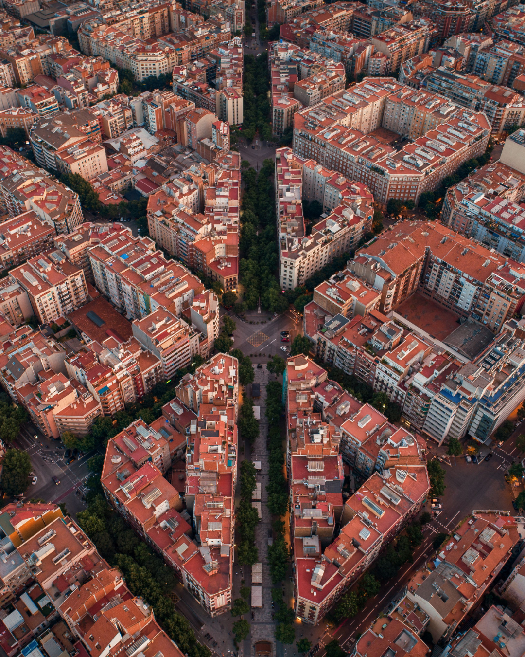
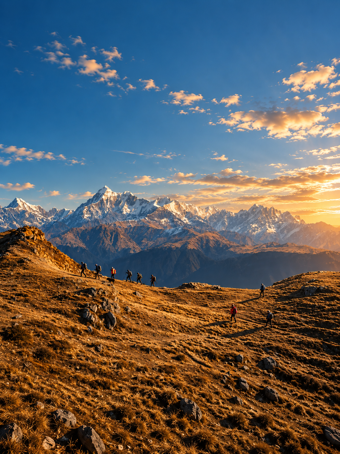
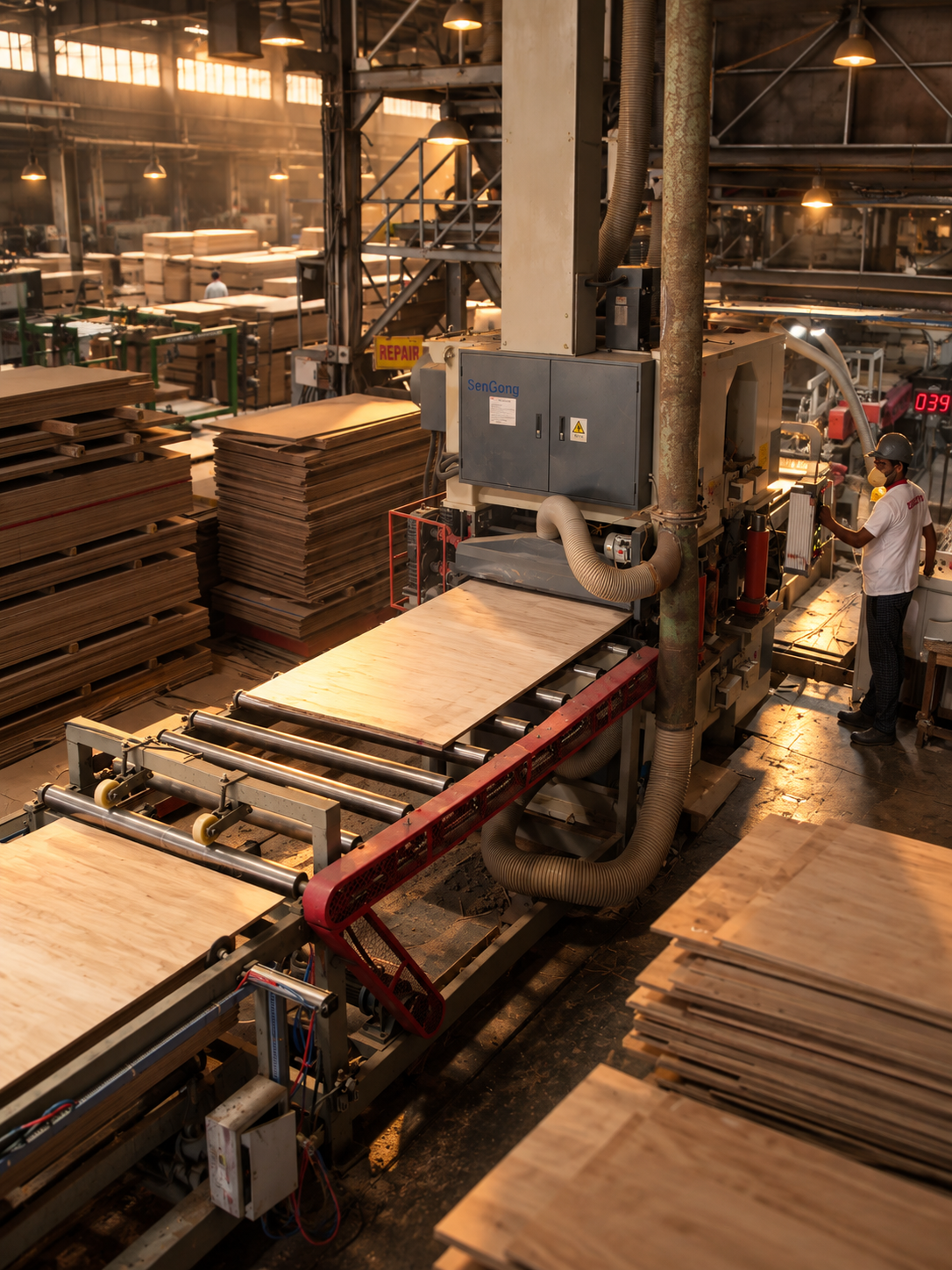
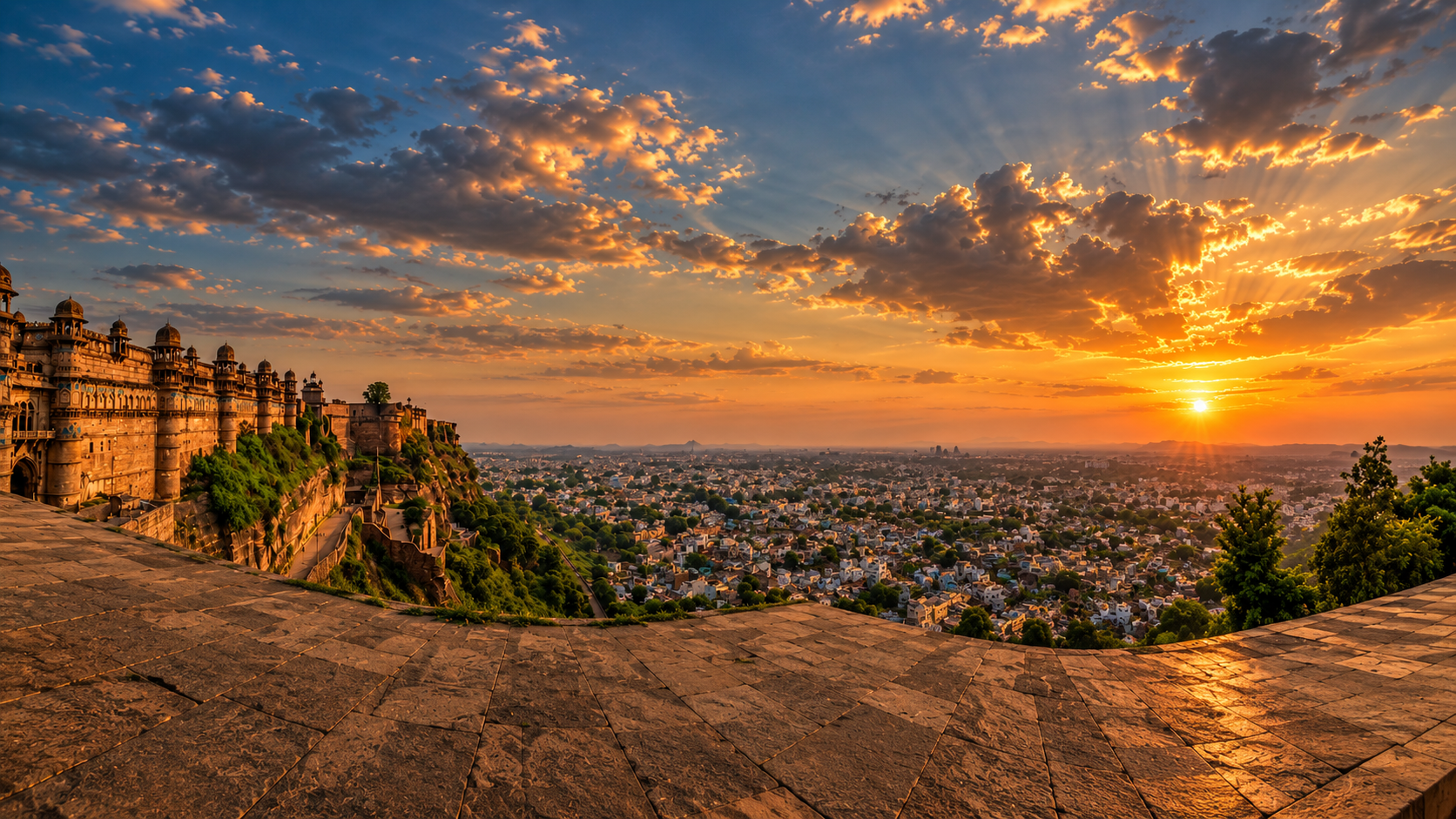
Aerial imagery can reveal relationships that disappear at ground level — between buildings, roads, people, landscapes, structures and space.
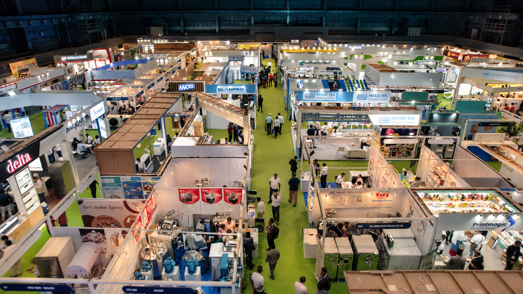
CHANGE
YOUR
PERSPECTIVE.
FROM ABOVE
IT ALL
CONNECTS.
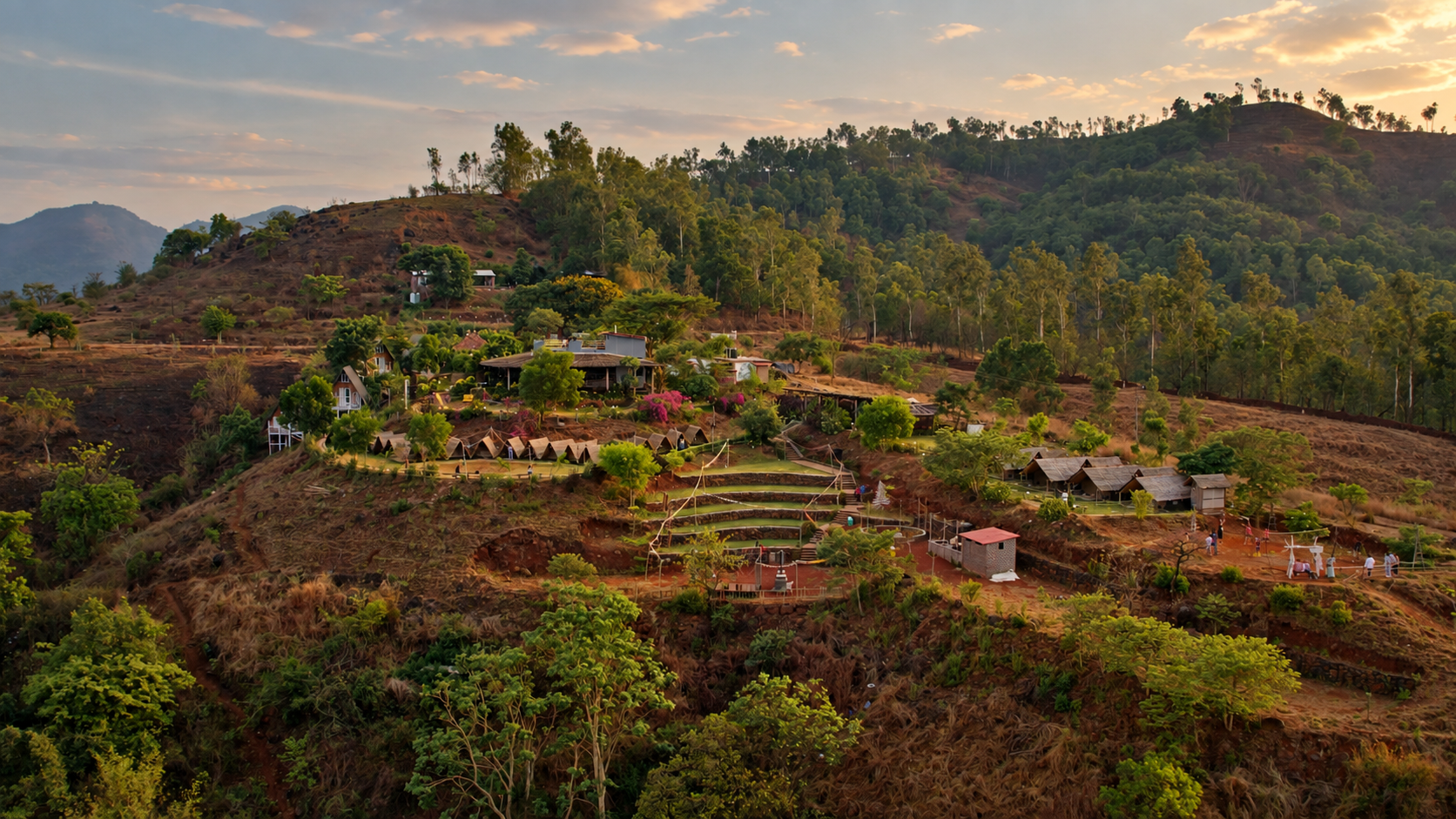
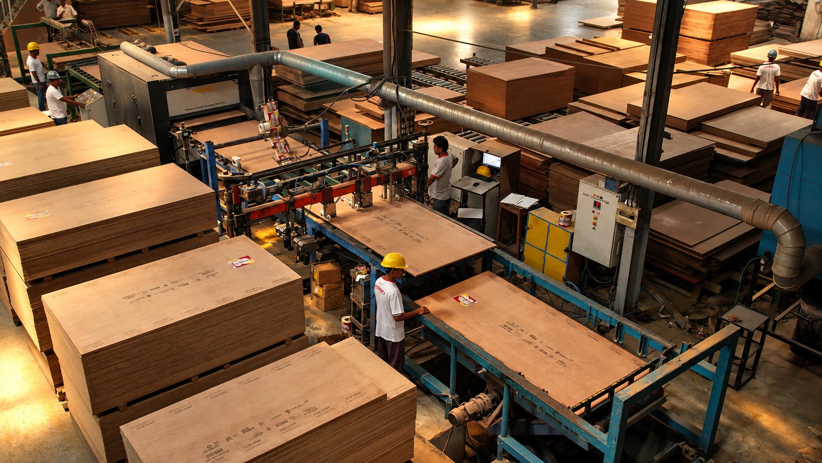
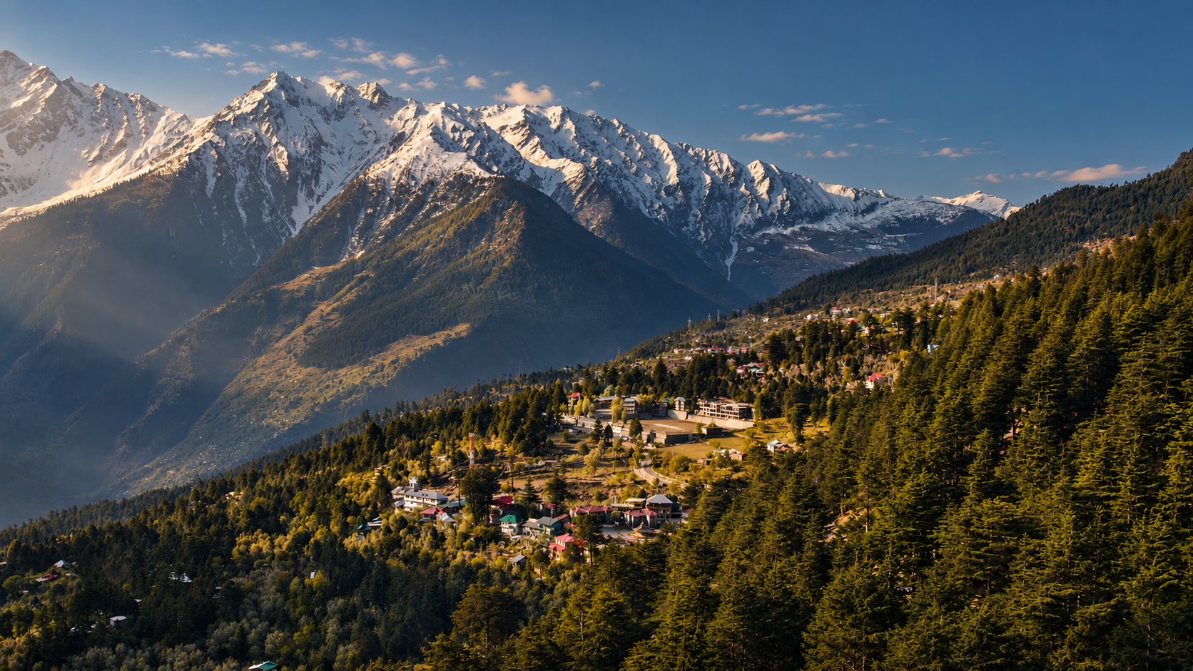
Aerial perspectives across property, industry, construction, infrastructure and landscape.

ONE DRONE.
MANY STORIES.
SHOW THE LOCATION.
Communicate property, surroundings, access, architecture and scale from above.
SHOW THE OPERATION.
Reveal facilities, machinery, operations, plant layouts and industrial environments.
SHOW THE PROGRESS.
Document development over time and create a clear visual record of construction progress.
SHOW THE SCALE.
Capture venues, crowds, formations and large-scale experiences from above.
MAKE IT MOVE.
Create cinematic aerial visuals for films, campaigns, promotions and brand stories.
SEE WHAT MATTERS.
Support surveying, mapping and inspection workflows with aerial visual documentation.

HAVE A WORLD
WORTH SEEING
FROM ABOVE?
Tell us what you need to capture. We'll find the perspective that makes it visible.
PLAN AN AERIAL SHOOT →